Geography students share research results at state-level conference
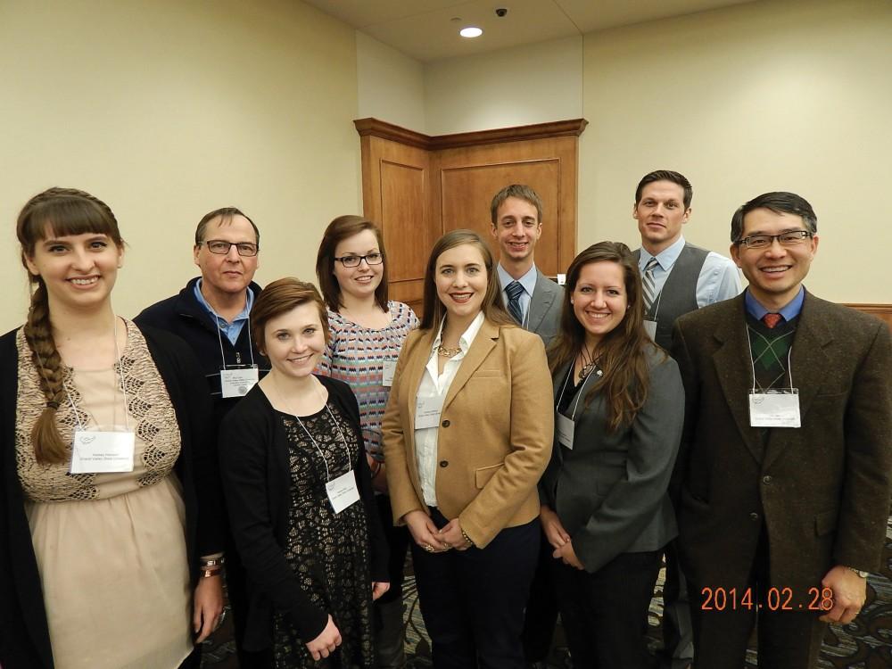
GVL/Courtesy – Fred Sunderman
Mar 9, 2014
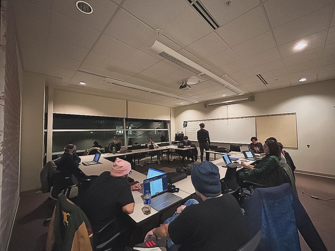
A group of nine Grand Valley State University students presented their research at the annual statewide conference of the Michigan Academy of Science, Arts and Letters (MASAL) at Oakland University on Feb. 28.
GVSU student Aynsley Gilmour conducted the research as part of her senior capstone class.
Gilmour’s research uses geospatial analysis, a method of using statistical tools with spatial variables, to gauge the distance between incoming freshmen’s origin locations and the location of GVSU’s Allendale Campus.
Her study revealed that over the last few years the percentage of enrolled incoming freshman from Oakland County has surpassed the percentage of enrolled incoming freshman from Ottawa County.
With this study, universities across the nation can geographically map freshmen recruitment, which will allow them to track the effectiveness of recruitment strategies and better allocate budget dollars.
“On a micro scale, my study methods can positively affect specific recruitment strategies of GVSU by allowing departments to concentrate recruiting resources in counties that demonstrate consistent success in delivering incoming freshmen to GVSU,” Gilmour said.
Another research project, done by GVSU student Kelsey Hanson, focused on LiDAR — a light detection and ranging technology. The remote sensing technique measures distance by illuminating a target with a laser and recording the time it takes for the light to return to the device.
Hanson looked at three areas throughout Ottawa County to determine whether or not the LiDAR imagery could pick up two archaeological features that can be found in West Michigan: cache pit depressions and earthen mounds.
Using LiDAR data collected in 2004 by Ottawa County Parks and Recreation, Hanson studied two recently excavated locations containing cache pit features and a golf course. The study revealed the actual dimension and features of earthen mounds, which provided insight into their construction.
“The golf course was a bit of a funny choice because to be quite honest, there are no extant earthen mound groups in Ottawa County,” Hanson said. “However, a golf course has a similar overall topography and was a useful area to analyze as a comparative tool.”
Hanson’s research started as a part of her final project in her geographic spatial information courses including computer cartography, introduction to geographic information systems and introduction to remote sensing.
“At Grand Valley, we have so many opportunities to do research projects of our own choosing and we have an incredible support system in place to implement them,” Hanson said. “Talk to your professors and bounce ideas around. My study blossomed into something that not only has a significant impact on archaeological research, but it has opened up a lot of doors for me as a prospective graduate student.”
The Michigan Academy conference includes 35 to 40 different disciplines and is the premier state conference hosted by the various member universities, said Kin Ma, assistant professor of geography and planning at GVSU.
“This state-level conference will provide valuable experience (for students) to share their research to a wider audience, challenge them to excel in research, and it provides excellent preparation for graduate school, as well as academic networking opportunities to find jobs,” Ma said.
Each of the nine students who attended the conference were pre-selected by GVSU geography and planning faculty members. In addition, their presentation abstracts were peer-reviewed by MASAL and several geography professors from GVSU and Saginaw Valley State University.


