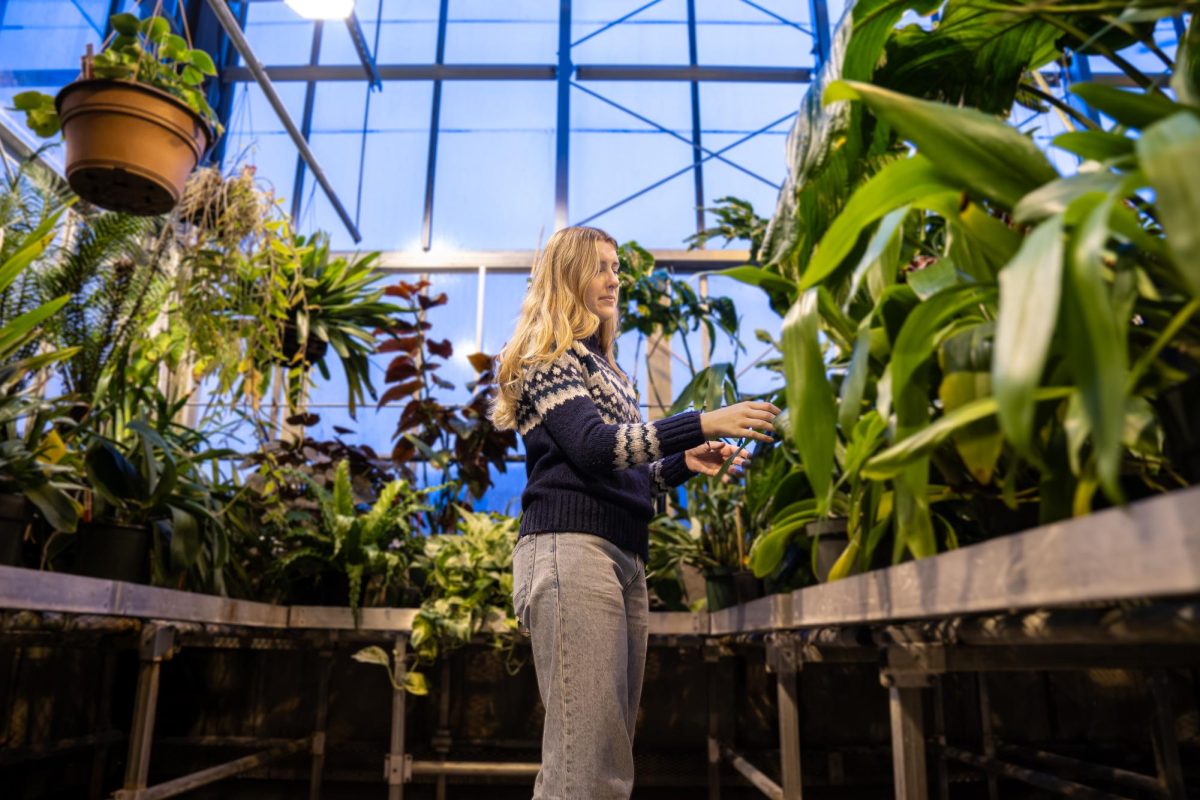
Speaker discusses Amazonian dark earth, Xinguano indigenous history
GVL / Annabelle Robinson. GVSU webinar about Indigenous history and the environment in the Southern Amazon on 3/30/21
Apr 5, 2021
The Grand Valley State University’s Latin American and Latino/a Studies Program along with the Department of Geography and Sustainable Planning invited Morgan Schmidt, geographer, archaeologist, and Postdoctoral Associate in the Earth, Atmospheric and Planetary Science Department at MIT, to talk about his research in the Southern Amazon region. In his webinar on Tuesday, March 30, Schmidt focused on the formation of “terra preta,” or Amazonian dark earth, and his partnership with the Kuikuro Community located in the Xingu Indigenous Territory.
The roughly hour-long presentation titled “Indigenous History, Historical Ecology, and the Environmental Tipping Point in the Southern Amazon” was hosted by David Stark, professor and Director of the Latin American and Latino/a Studies Program, and Jim Penn, professor and Department Chair of the Department of Geography and Sustainable Planning. All students, staff and faculty were encouraged to virtually attend the presentation through Zoom.
Following brief opening remarks from Stark, Penn continued by introducing Schmidt and his work with the Kuikuro indigenous community.
Schmidt began his presentation by showing maps of the deforestation and forest fires in the Amazon up to 2019 and explaining how the Amazon is beginning to reach its tipping point. The Amazon has lost 65.8 million acres of primary forest since 2001 and has experienced an increase in deforestation and forest fires since 2019 due to the Bolsonaro Administration opening protected lands for ranching, logging, and mining. Schmidt then went on to explain the deforestation in relation to the Xingu Basin and Xingu Indigenous Territory.
“The Upper Xingu is like a peninsula of green sticking down into… what we call the Arc of Deforestation,” Schmidt said. “You can see that the only real significant forest left in this region is in indigenous areas.”
Next, Schmidt proceeded to explain a brief history of the Amazon, starting with Francisco de Orellana’s navigation of the Amazon River from 1541 to 1542. From accounts of his descent, the river was densely occupied by villages and towns of indigenous communities. However, in the 19th century, researchers found that many of these villages had been abandoned and indigenous people had been dispersed throughout the Amazon.
Since then, many archeologists and researchers have gone to the Amazon to excavate and explore the region and its indigenous history dating back thousands of years. This led to Schmidt’s explanation of Amazonian dark earth, which he simply refers to as “dark earth.”
“(Dark earth) is an anthropic soil, which means was created, made, or formed from human activities,” Schmidt said. “It is also an archaeological remain that’s full of artifacts and ecofacts, or botanical, animal, and fish remains. It’s usually a settlement site where there was a village or town in the past and is characterized by the dark color, abundant charcoal, many artifacts, and can cover extensive areas and be up to two meters deep in some areas.”
Following this explanation of dark earth, Schmidt returned to the Upper Xingu and his research in partnership with the Kuikuro Indigenous Association (AIKAX).
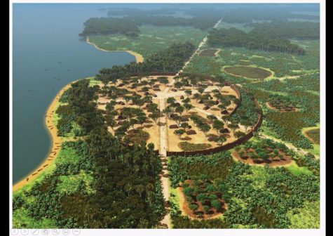
He explained that the Xinguanos, or the Upper Xingu society, is comprised of eight different ethnic groups who interact and intermingle with each other. The Xinguanos were able to keep their culture and traditions in tack since they were the first indigenous reservations, they were well isolated, and they decided to not allow missionaries into their community. Schmit went on to explain aspects of their culture and how the Kuikuro have manipulated and curated their soil into dark earth, or what they refer to as eegepe, to use for farming.
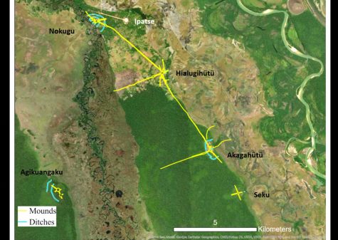
In his fieldwork, Schmidt and his associates used GPS for mapping the area, collected soil samples from excavations, conducted laboratory analysis of samples, and conducted ethnographic research with the native people. In maps he showed during the presentation, Schmidt shows the ancient sites his team was able to map and the dark earth surrounding it.
With this research, Schmidt and his team created a digital portal to upload their data and give Kuikuro
access to their data. They have also trained a team of research assistance in the area to go into the field and collect data on their own. This digital portal has been very useful for their research and has proven to be adaptable as seen during the past year during the COVID-19 pandemic
“Once COVID hit, we took our online GIS and adapted it to monitor patients and created a dashboard so we could monitor COVID cases,” Schmidt said. “We were very successful and we managed to get up until today, not a single death from COVID in the Kuikuro villages we worked with.”
Finally, Schmidt went over the threats the Kuikuro and the Upper Xingu region face, including drought, forest fires, industrial agriculture, mining and petroleum, and loss of forests leading to a decline in wildlife. He closed the presentation by explaining his work with the Amazon Hopes Collective through the Pennywise Foundation, which they have used for crowdfunding for the Kuikuro.
After the presentation, Penn opened the floor for a quick Q&A segment with Schmidt. Both students and faculty were curious not only about his partnership with the Kuikuro, but also further research in the area and the future of the Kuikuro community.
Those interested in learning more about the Xingu and the Kuikuro indigenous community can visit www.pennywisefoundation.org/amazon-hopes-collective.


